Landscape morphometry studies are triggered by the absolute need for information on land surface objects and their parameters in a quantitative objective for the benefit of sustainable development. On the other hand, landscape morphometry studies are now easier to do in line with the rapid development of earth surface imaging technology and geospatial data processing. In the context of land system mapping, morphometric information will be one of the main items in land system maps in addition to information on the characteristics of the land cover material and the geomorphic processes that take place on it so that the interpretation of its use for development becomes more accurate.
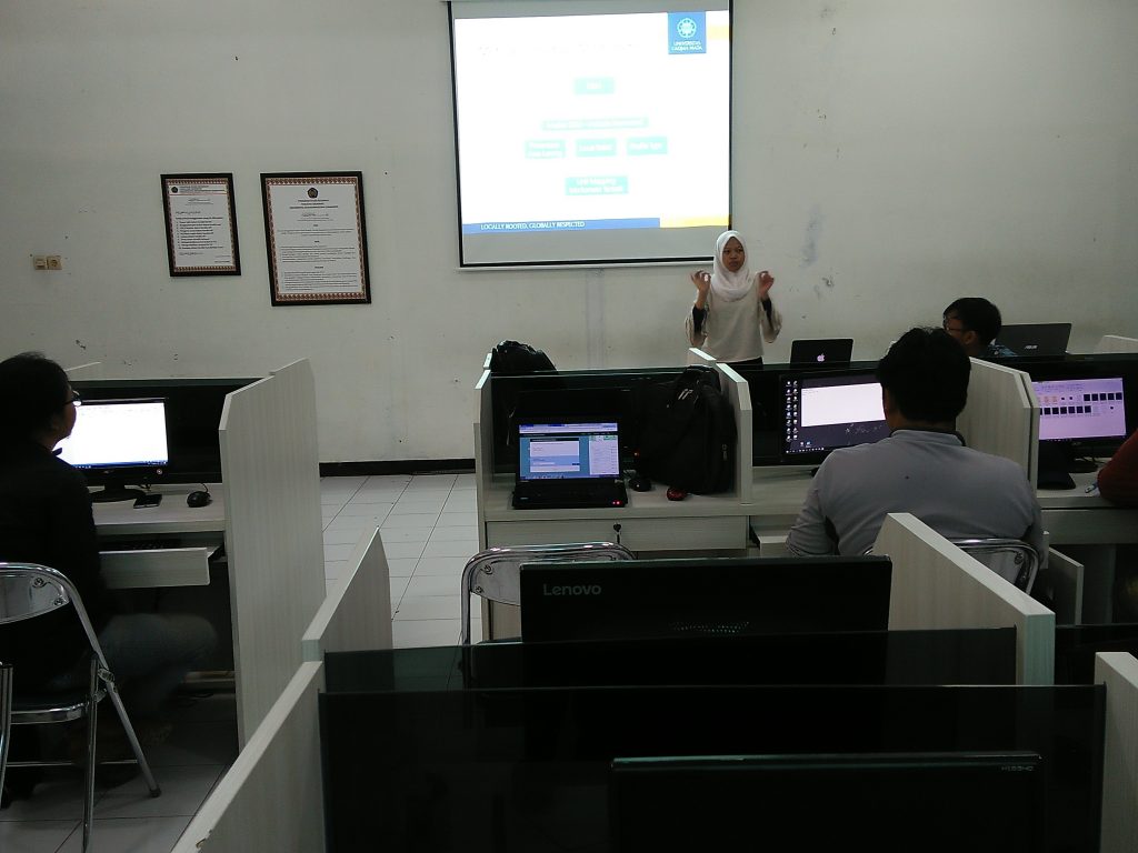
The workshop was held at the Laboratory of the Faculty of Geography, UMS. The activity was attended by 10 participants from the Faculty of Geography UMS. The trainers come from alumni of the UGM Faculty of Geography. The activity was carried out on April 24-25 2018. This activity is intended to prepare geographers in the field of landscape morphometry mapping who are ready to enter the world of work.

