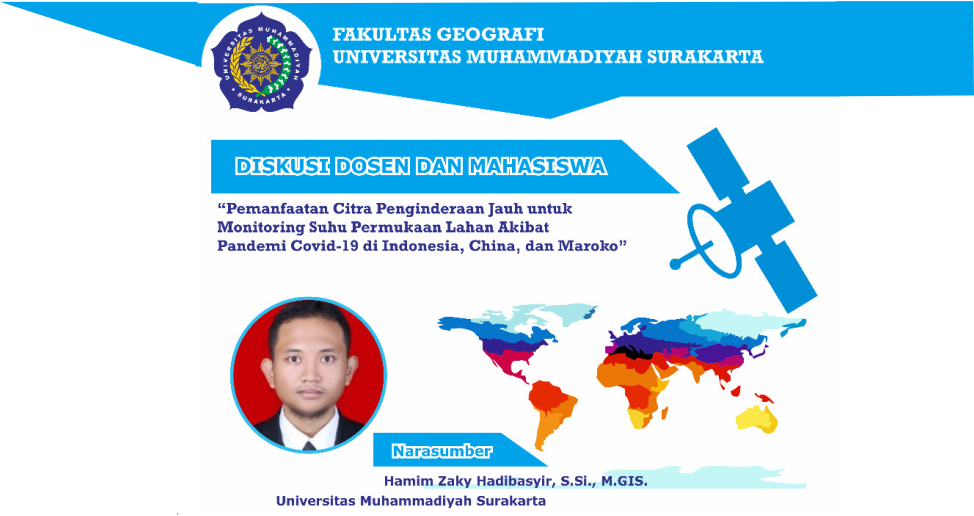
Geography UMS Holds Scientific Discussion on Using Remote Sensing Imagery for Monitoring Land Surface Temperature Due to the Covid-19 Pandemic
Last Friday (9/4), the Faculty of Geography, Universitas Muhammadiyah Surakarta, held a scientific discussion between lecturers and students through Zoom Meeting. With the theme “Utilizing Remote Sensing Imagery for Monitoring Land Surface Temperature Due to the Covid 19 Pandemic in Indonesia, China, and Morocco”, the discussion was held by inviting resource persons Hamim Zaky Hadibasyir, […]