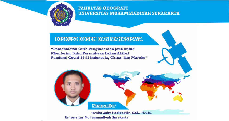
Last Friday (9/4), the Faculty of Geography, Universitas Muhammadiyah Surakarta, held a scientific discussion between lecturers and students through Zoom Meeting. With the theme “Utilizing Remote Sensing Imagery for Monitoring Land Surface Temperature Due to the Covid 19 Pandemic in Indonesia, China, and Morocco”, the discussion was held by inviting resource persons Hamim Zaky Hadibasyir, M.GIS as a Geography lecturer at UMS. On this occasion, Hamim revealed various kinds of public responses to Covid 19. There are those who consider Covid 19 as a hoax, some call it a conspiracy, and so on. Hamim further explained that Covid 19 also had an impact on geographical conditions. For example, when viewed from the temperature, energy of the earth, and so on. In the research he conducted with the title “Comparison of Land Surface Temperature During and Before The Emergence of Covid-19 Using Modis Imagery in Wuhan City, China”, Hamim compared the temperature of Wuhan City during the lockdown in 2020 with the average of the previous 3 years. By using MODIS (Terra) images, the temperature results during the lockdown ranged from 12.1 – 14 degrees Celsius. The journal entitled “Comparison of Land Surface Temperature During and Before The Emergence of Covid-19 Using Modis Imagery in Wuhan City, China” can be read in full here.

