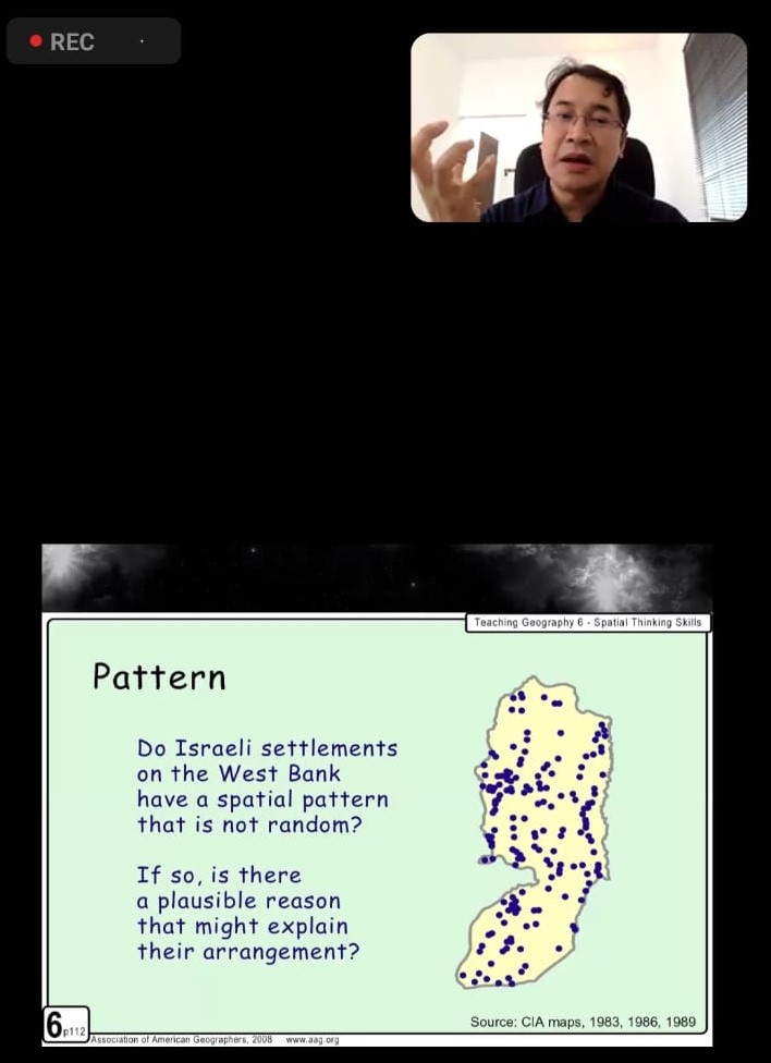
On Saturday, February 3, 2024, the Faculty of Geography at Muhammadiyah University of Surakarta (UMS) held a virtual public lecture titled “Spatial Thinking in the Context of Data Science.” The event was attended by students and faculty members of the Geography Faculty who were interested in delving into important concepts in understanding and analyzing data with geographical dimensions.
The main speaker at this event was Adipandang Yudono, Ph.D., an experienced lecturer from Brawijaya University in Malang. In his presentation, Adipandang Yudono, Ph.D., provided a deep understanding of the concepts of primary and secondary data in the context of spatial data. He explained that primary data refers to data obtained directly from its main source, such as field survey results or direct measurements. Meanwhile, secondary data is data that already exists and is usually obtained from government publications or other sources. In terms of spatial data, examples of primary data can include direct measurement data such as survey maps, while examples of secondary data can include population data from government publications or remote sensing imagery.
Furthermore, Adipandang Yudono, Ph.D., explained the concept of hierarchy in the context of spatial data. “Hierarchy” refers to a structured data arrangement, such as organizational or road structures. In Geographic Information Systems (GIS), spatial data can be organized in a hierarchy representing various levels of detail, ranging from national levels to street or building levels. This hierarchy allows users to analyze and visualize data in detail according to their needs.
Adipandang Yudono, Ph.D., also emphasized the importance of spatial thinking in the context of data science. Spatial thinking refers to the ability to understand and analyze data with geographic or spatial components. This involves understanding spatial context and utilizing geographic data in analysis. The application of spatial thinking in data science opens up new opportunities for more comprehensive analysis and better decision-making.
“Dalam Sistem Informasi Geografis (SIG), data spasial merupakan data yang menyajikan lokasi geografis suatu kenampakan muka bumi, sementara data non-spasial merupakan data yang tidak berkaitan dengan posisi geografis. Oleh karena itu, spatial thinking dalam data science menjadi penting dalam mengolah, menganalisis, dan memahami data yang memiliki dimensi geografis,” said Adipandang Yudono, Ph.D.
This event successfully provided deep insights into the concept of spatial thinking in the context of data science. Participants are expected to apply this understanding in their research and practices, opening up new opportunities for exploration and innovation in the increasingly important field of data science in this digital era.

