The Faculty of Geography at Muhammadiyah University of Surakarta (UMS) once again held its annual international scientific event, the International Conference of Geography and Disaster Management (ICGDM) 2025. This event is part of the series of the International Summit on Science, Technology and Humanity (ISETH) 2025, the largest academic forum at UMS.
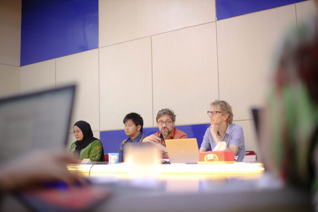
In his opening remarks, the Dean of the Faculty of Geography, Jumadi, M.Sc., Ph.D., explained that this year’s conference is organized in collaboration with the UMS Center for Environmental Studies as a co-host. He emphasized that ICGDM is designed to provide a collaborative platform for academics, researchers, practitioners, and stakeholders to exchange ideas on contemporary geographical issues.
“ICGDM serves as an important forum for discussing environmental challenges, natural resource management, the socio-economic dynamics of tropical regions, and the growing role of geospatial technology in sustainable development,” he said on Wednesday (19/11).
Participants from 12 Countries
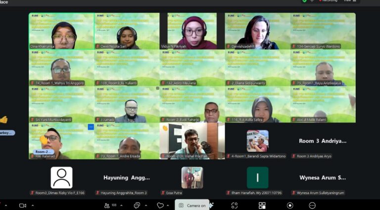
This year, the conference successfully attracted participants from 12 countries, reflecting UMS’s growing recognition within the global academic network. Jumadi expressed his appreciation to all presenters who contributed fresh perspectives in the fields of geography and disaster management.
“We are proud to provide a space where researchers from various countries can meet, discuss, and produce new breakthroughs for managing tropical regions more sustainably,” he added.
Four Keynote Speakers Featured
ICGDM 2025 presented four keynote speakers from renowned institutions around the world:
- Prof. Dr. rer. nat. Muh. Aris Marfai, S.Si., M.Sc. (Geospatial Information Agency, Indonesia)
- Associate Professor Dr. Gregory Breetzke (University of Pretoria, South Africa)
- Assoc. Prof. Dr. Siti Aekbal Salleh (Universiti Teknologi MARA, Malaysia)
- Assoc. Prof. Dr. Roshanak Darvishzadeh (University of Twente, Netherlands)
In addition, Vidya Nadhiyatul Fikriyah, M.Sc., a doctoral candidate from the University of Twente, was also invited.
Discussing Climate Change and the Role of GIS
One of the most notable presentations came from Assoc. Prof. Dr. Siti Aekbal Salleh of UiTM Shah Alam. She discussed the crucial role of Geographic Information Systems (GIS) in helping governments and spatial planners address the complexities of climate change.
According to her, urban areas today face overlapping interests between economic space, infrastructure, and the environment. Without geospatial technology, urban planning risks becoming reactive and poorly integrated.
“GIS allows us to visualize real conditions into spatial information that can be analyzed. Without GIS, many planning decisions would be based merely on assumptions,” she explained.
Conference as an Effort to Tackle Global Challenges
Through this event, the UMS Faculty of Geography hopes to strengthen research networks and enrich discourse on sustainability in tropical regions. The conference also serves as an important moment for young academics to publish their latest research findings.
UMS reaffirms its commitment to continuing its role as a center for advancing geographical science that contributes to society and scientific progress.