Advances in technology do not limit us in learning everything about Geospatial. To improve the knowledge and skills of the Faculty of Geography, UMS Presents: “Workshop on the Utilization of Geospatial Technology based on Drone Technology and Geodetic GPS GNSS RTK” Held on: Execution date: 22-24 March 2021 Location : Faculty of Geography UMS Registration fee : • Rp. 350.000 (Geography Students and Alumni) • Rp. 400,000 (General and Technician) Payment via transfer: BTPN bank account (9002032921) An. Rudiyanto Payment Confirmation : 0812 1506 7975 (Rudiyanto, S.Si.) Speakers: – Aditya Saputra, S.Sc., M.Sc., Ph.D (Lecturer of the Faculty of Geography) – Dwi Herwandono, S.T. (CEO Ageo-persada.com) Training materials : •• Drone Technology: – Understanding Photogrammetry – Introduction to the Types of UAV – Basics of using Drones – Drones for Mapping – Flying Mission Creation – Data Acquisition – Data processing – Analysis Techniques •• GPS Geodetic GNSS RTK : – Basic GPS/GNSS Introduction – Geodetic GPS Introduction – Introduction to Data Processing Theory – Static Data Retrieval – RTK Data Retrieval – Data processing – Analysis Techniques •• Participant Requirements: – Have a neat result of antigen or GeNose test – Have a Laptop with a minimum of 4GB RAM and Windows 64 Bit •• Facility : – Snack – Eat – Certificate – Masks and Handsanitizer Registration link: http://bit.ly/WorkshopGeografiUMS
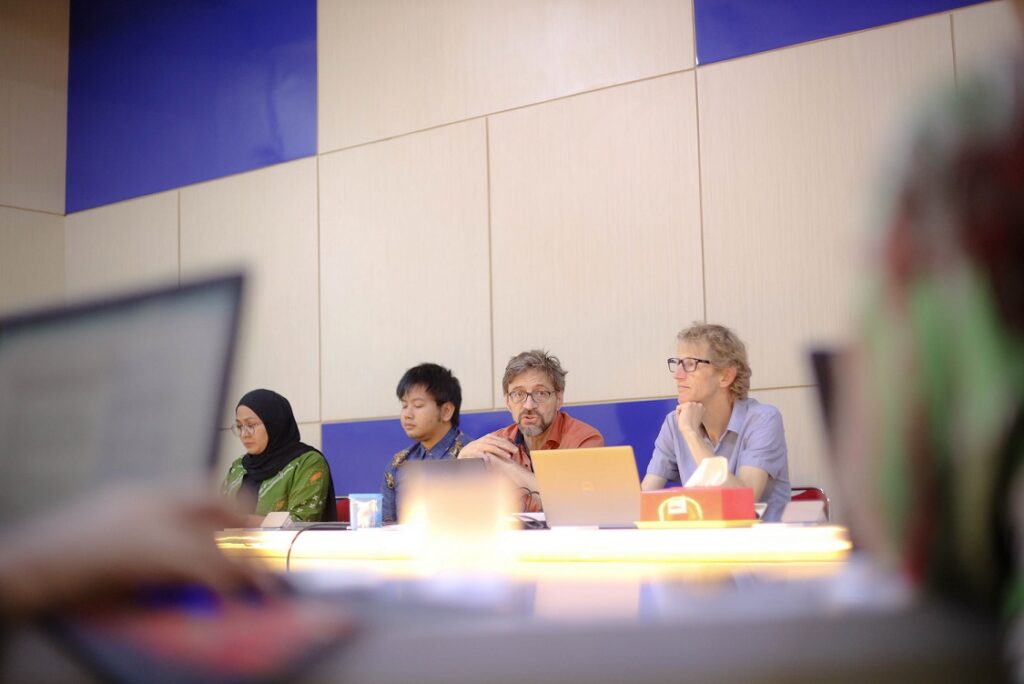
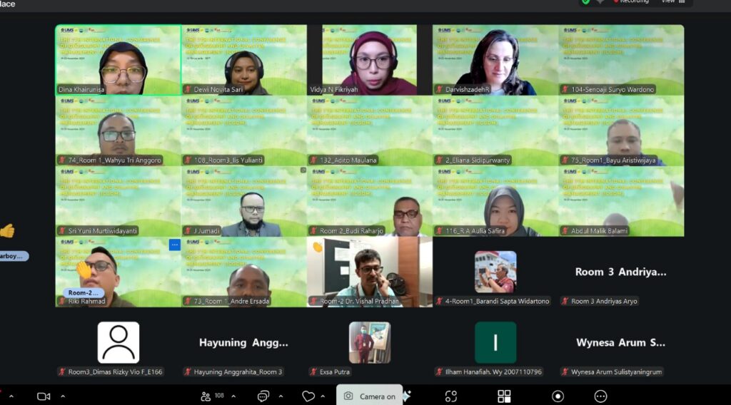
UMS Geography Strengthens Applied Curriculum Innovation Through International Collaboration with UGM and TH Köln
The Faculty of Geography at Universitas Muhammadiyah Surakarta (UMS) continues to advance transformative, practice-based learning. This commitment was reaffirmed through an official visit from Universitas