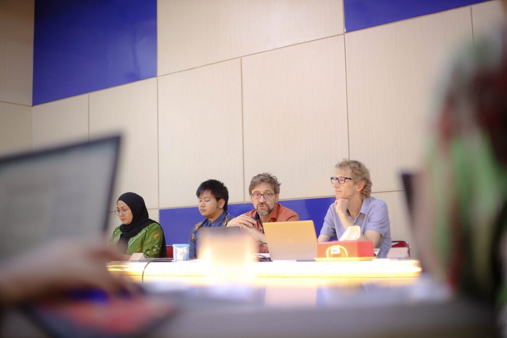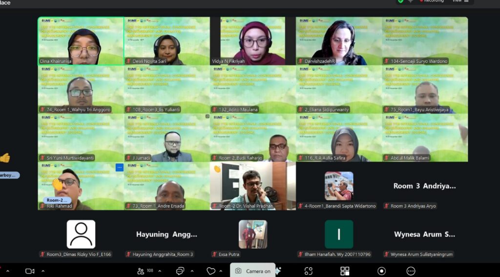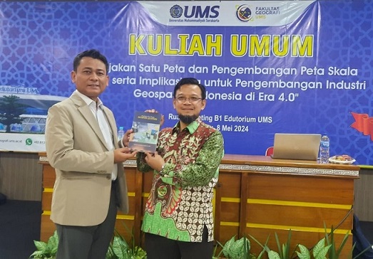
On Thursday (8/5), the Faculty of Geography held a Student General Lecture at the Edutorium Universitas Muhammadiyah Surakarta (UMS). The event focused on the theme “One Map Policy and Development Map using Scale 1:5000 and The Impact of The Development of Indonesia’s Geospatial Industry in the 4.0 Era.” The keynote speaker was Prof. Dr.rer.nat. Muh Aris Marfai, S.Si., M.Sc. (Head of Geospatial Information Agency) and the moderator was Wahyu Tyas Pramono, S.Si., M.Sc. (Lecture at the Faculty of Geography).
During the lecture, Prof Muh Aris Marfai emphasized the importance of the One Map Policy in Indonesia. “The One Map Policy uses a single standardized data basis for all maps in Indonesia, primarily to resolve overlapping issues,”said Prof Muh Aris Marfai, who is also be a Professor at the Faculty of Geography, Universitas Gadjah Mada (UGM) Yogyakarta.
Additionaly, Prof Muh Aris Marfai highlighted several challenges in creating this comprehensive map. These include the vast and diverse geographical scope of Indonesia, environmental conditions, and the complexity of residential areas. Another significant challenge is the availability of basic maps for all regions in Indonesia at various scales.
Looking ahead, the One Map Policy presents significant opportunities, especially when combined with technologies like mobile sensors and mapping, big data analysis, smart cities, IoT, and location-based services.